The White Hart
Introduction
The photograph on this page of The White Hart by Richard Croft as part of the Geograph project.
The Geograph project started in 2005 with the aim of publishing, organising and preserving representative images for every square kilometre of Great Britain, Ireland and the Isle of Man.

There are currently over 7.5m images from over 14,400 individuals and you can help contribute to the project by visiting https://www.geograph.org.uk
The White Hart
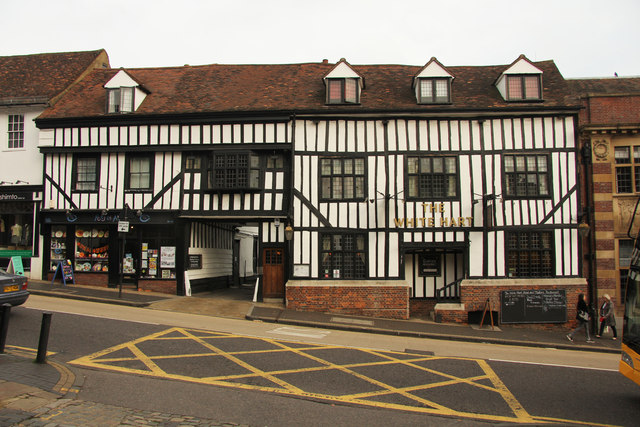
Image: © Richard Croft Taken: 2 Oct 2013
Grade II* listed range of late 15th century timber-framed buildings on Holywell Hill http://www.whiteharthotelstalbans.co.uk/
Images are licensed for reuse under creativecommons.org/licenses/by-sa/2.0
Image Location
Latitude
51.749789
Longitude
-0.340297