Grand Union Canal: Bridge Number 98A
Introduction
The photograph on this page of Grand Union Canal: Bridge Number 98A by Nigel Cox as part of the Geograph project.
The Geograph project started in 2005 with the aim of publishing, organising and preserving representative images for every square kilometre of Great Britain, Ireland and the Isle of Man.

There are currently over 7.5m images from over 14,400 individuals and you can help contribute to the project by visiting https://www.geograph.org.uk
Grand Union Canal: Bridge Number 98A
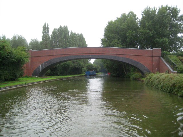
Image: © Nigel Cox Taken: 14 Sep 2013
Bridge Number 98A is a modern bridge carrying a footpath and cycleway over a broad section of canal, where there was no bridge before. This accounts for its much greater size and span than the original canal bridges. The bridge runs from Phelps Road, off Stoke Road, to a recreational area between the canal and the River Ouzel to the east.
Images are licensed for reuse under creativecommons.org/licenses/by-sa/2.0
Image Location
Latitude
51.983087
Longitude
-0.718886