Flood alleviation works, Orangefield Park, Belfast (7)
Introduction
The photograph on this page of Flood alleviation works, Orangefield Park, Belfast (7) by Albert Bridge as part of the Geograph project.
The Geograph project started in 2005 with the aim of publishing, organising and preserving representative images for every square kilometre of Great Britain, Ireland and the Isle of Man.

There are currently over 7.5m images from over 14,400 individuals and you can help contribute to the project by visiting https://www.geograph.org.uk
Flood alleviation works, Orangefield Park, Belfast (7)
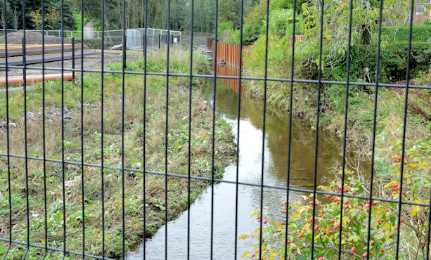
Image: © Albert Bridge Taken: 5 Oct 2013
The present course of the Knock River, looking downstream at Orangefield Lane/Orangefield Park. The works on the left are part of the flood alleviation scheme which includes the diversion of the river to a new course, slightly further south, through what was previously grass. The affected stretch is (approximately) from Sandhill Park to here.
Images are licensed for reuse under creativecommons.org/licenses/by-sa/2.0
Image Location
Latitude
54.588628
Longitude
-5.879458