Kingston Liberal Synagogue
Introduction
The photograph on this page of Kingston Liberal Synagogue by Stephen Craven as part of the Geograph project.
The Geograph project started in 2005 with the aim of publishing, organising and preserving representative images for every square kilometre of Great Britain, Ireland and the Isle of Man.

There are currently over 7.5m images from over 14,400 individuals and you can help contribute to the project by visiting https://www.geograph.org.uk
Kingston Liberal Synagogue
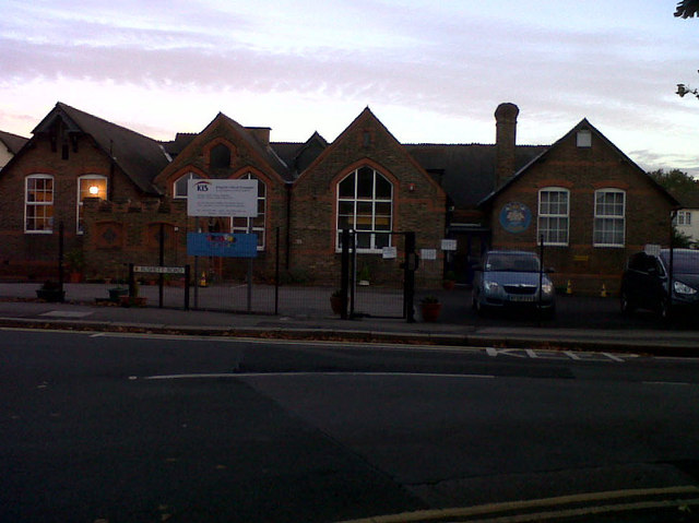
Image: © Stephen Craven Taken: 4 Oct 2013
The synagogue meets in this former primary school on the corner of Rushett Road and Ewell Road in Thames Ditton.
Images are licensed for reuse under creativecommons.org/licenses/by-sa/2.0
Image Location
Latitude
51.386076
Longitude
-0.322878