Pit in field NW of Whiteparish
Introduction
The photograph on this page of Pit in field NW of Whiteparish by Peter Facey as part of the Geograph project.
The Geograph project started in 2005 with the aim of publishing, organising and preserving representative images for every square kilometre of Great Britain, Ireland and the Isle of Man.

There are currently over 7.5m images from over 14,400 individuals and you can help contribute to the project by visiting https://www.geograph.org.uk
Pit in field NW of Whiteparish
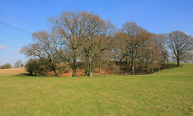
Image: © Peter Facey Taken: 16 Mar 2007
Pit, or large circular depression, marked on 1:25,000 OS map.
Images are licensed for reuse under creativecommons.org/licenses/by-sa/2.0
Image Location


Leaflet Map data © OpenStreetMap
Latitude
51.012196
Longitude
-1.663542