The A6 heading south out of Shap
Introduction
The photograph on this page of The A6 heading south out of Shap by Nigel Brown as part of the Geograph project.
The Geograph project started in 2005 with the aim of publishing, organising and preserving representative images for every square kilometre of Great Britain, Ireland and the Isle of Man.

There are currently over 7.5m images from over 14,400 individuals and you can help contribute to the project by visiting https://www.geograph.org.uk
The A6 heading south out of Shap
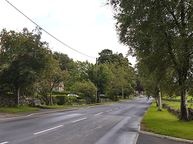
Image: © Nigel Brown Taken: 19 Sep 2013
It's a long time since I last visited Shap; my memories of it were of a rather gloomy place, but this time it looked a cheerful and well-kept village, rather more attractive than some of the honeypot villages of the Lakes.
Images are licensed for reuse under creativecommons.org/licenses/by-sa/2.0
Image Location
Latitude
54.520868
Longitude
-2.670908