Kings Park Bowls and Social Club
Introduction
The photograph on this page of Kings Park Bowls and Social Club by Stuart Buchan as part of the Geograph project.
The Geograph project started in 2005 with the aim of publishing, organising and preserving representative images for every square kilometre of Great Britain, Ireland and the Isle of Man.

There are currently over 7.5m images from over 14,400 individuals and you can help contribute to the project by visiting https://www.geograph.org.uk
Kings Park Bowls and Social Club
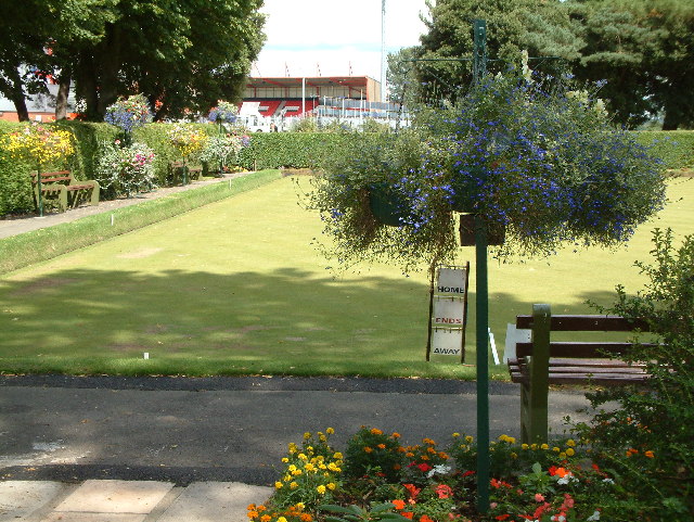
Image: © Stuart Buchan Taken: 12 Aug 2005
Kings Park is situated to the east of Bournemouth. It is the home of Bournemouth AFC.
Images are licensed for reuse under creativecommons.org/licenses/by-sa/2.0
Image Location


Leaflet Map data © OpenStreetMap
Latitude
50.732005
Longitude
-1.838418