Track from Ashurst Bridge Road
Introduction
The photograph on this page of Track from Ashurst Bridge Road by J W Parker as part of the Geograph project.
The Geograph project started in 2005 with the aim of publishing, organising and preserving representative images for every square kilometre of Great Britain, Ireland and the Isle of Man.

There are currently over 7.5m images from over 14,400 individuals and you can help contribute to the project by visiting https://www.geograph.org.uk
Track from Ashurst Bridge Road
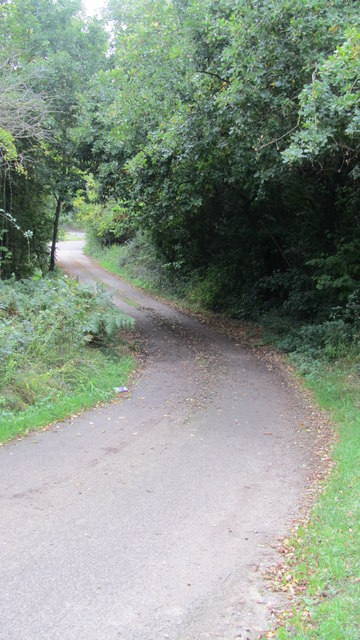
Image: © J W Parker Taken: 4 Oct 2013
This is looking back along this track towards Ashurst Bridge road from the point where it becomes private. This basically makes it a dead end and not a footpath to Knellers Lane and Foxhills.
Images are licensed for reuse under creativecommons.org/licenses/by-sa/2.0
Image Location
Latitude
50.909323
Longitude
-1.510532