Stalybridge - Melbourne Court
Introduction
The photograph on this page of Stalybridge - Melbourne Court by Dave Bevis as part of the Geograph project.
The Geograph project started in 2005 with the aim of publishing, organising and preserving representative images for every square kilometre of Great Britain, Ireland and the Isle of Man.

There are currently over 7.5m images from over 14,400 individuals and you can help contribute to the project by visiting https://www.geograph.org.uk
Stalybridge - Melbourne Court
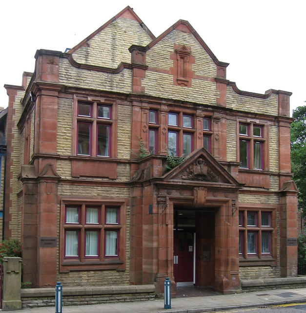
Image: © Dave Bevis Taken: 19 Aug 2013
Melbourne Court is sheltered accommodation incorporating the listed (former) Sunday School on Trinity Street/Dean Street, which is shown in this photo.
Images are licensed for reuse under creativecommons.org/licenses/by-sa/2.0
Image Location
Latitude
53.483206
Longitude
-2.056621