The lane near Brooke church
Introduction
The photograph on this page of The lane near Brooke church by John Sutton as part of the Geograph project.
The Geograph project started in 2005 with the aim of publishing, organising and preserving representative images for every square kilometre of Great Britain, Ireland and the Isle of Man.

There are currently over 7.5m images from over 14,400 individuals and you can help contribute to the project by visiting https://www.geograph.org.uk
The lane near Brooke church
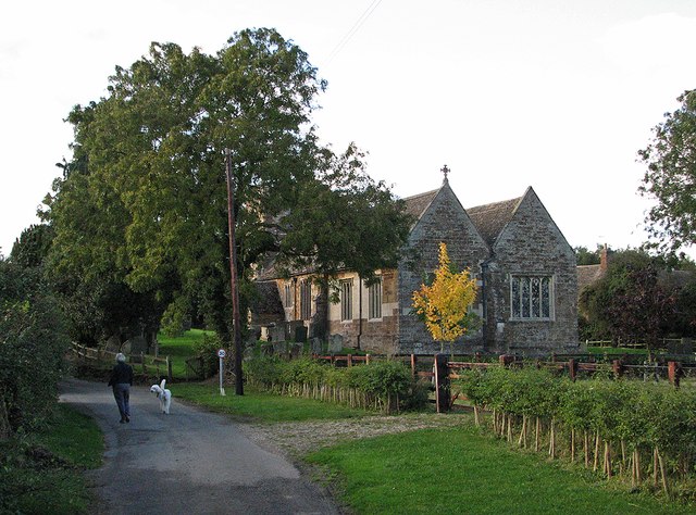
Image: © John Sutton Taken: 4 Oct 2012
A walk with the dog on an October afternoon. For closer pictures of this fascinating church, see Image
Images are licensed for reuse under creativecommons.org/licenses/by-sa/2.0
Image Location
Latitude
52.642302
Longitude
-0.745085