Arable fields north of Porthleven
Introduction
The photograph on this page of Arable fields north of Porthleven by Jonathan Billinger as part of the Geograph project.
The Geograph project started in 2005 with the aim of publishing, organising and preserving representative images for every square kilometre of Great Britain, Ireland and the Isle of Man.

There are currently over 7.5m images from over 14,400 individuals and you can help contribute to the project by visiting https://www.geograph.org.uk
Arable fields north of Porthleven
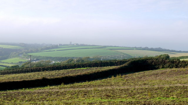
Image: © Jonathan Billinger Taken: 3 Oct 2013
The tower of Breage church can be seen in the distance.
Images are licensed for reuse under creativecommons.org/licenses/by-sa/2.0
Image Location
Latitude
50.09413
Longitude
-5.313886