Fundamental Bench Mark
Introduction
The photograph on this page of Fundamental Bench Mark by Peter Wood as part of the Geograph project.
The Geograph project started in 2005 with the aim of publishing, organising and preserving representative images for every square kilometre of Great Britain, Ireland and the Isle of Man.

There are currently over 7.5m images from over 14,400 individuals and you can help contribute to the project by visiting https://www.geograph.org.uk
Fundamental Bench Mark
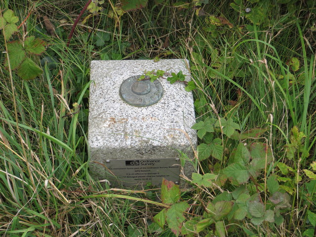
Image: © Peter Wood Taken: 23 Sep 2013
This roadside pillar can be found near Fisherton Parish Church. For more detail see : http://www.bench-marks.org.uk/bm1000
Images are licensed for reuse under creativecommons.org/licenses/by-sa/2.0
Image Location
Latitude
55.421191
Longitude
-4.726703