Western end of Station Road Grovesend
Introduction
The photograph on this page of Western end of Station Road Grovesend by Jaggery as part of the Geograph project.
The Geograph project started in 2005 with the aim of publishing, organising and preserving representative images for every square kilometre of Great Britain, Ireland and the Isle of Man.

There are currently over 7.5m images from over 14,400 individuals and you can help contribute to the project by visiting https://www.geograph.org.uk
Western end of Station Road Grovesend
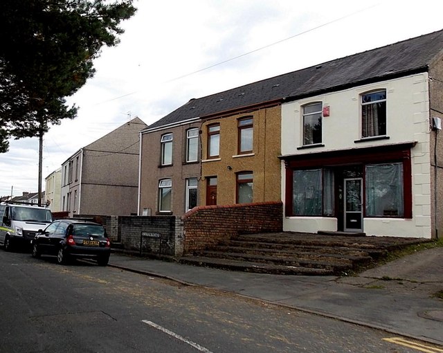
Image: © Jaggery Taken: 29 Sep 2013
Viewed from the corner of the B4296. Station Road formerly led to Pont Lliw railway station about 600 metres to the east (ahead). Passenger services at Pont Lliw ceased in 1924.
Images are licensed for reuse under creativecommons.org/licenses/by-sa/2.0
Image Location


Leaflet Map data © OpenStreetMap
Latitude
51.689353
Longitude
-4.03689