Cross Roads of Longdale and Rigg Lanes
Introduction
The photograph on this page of Cross Roads of Longdale and Rigg Lanes by Tom Courtney as part of the Geograph project.
The Geograph project started in 2005 with the aim of publishing, organising and preserving representative images for every square kilometre of Great Britain, Ireland and the Isle of Man.

There are currently over 7.5m images from over 14,400 individuals and you can help contribute to the project by visiting https://www.geograph.org.uk
Cross Roads of Longdale and Rigg Lanes
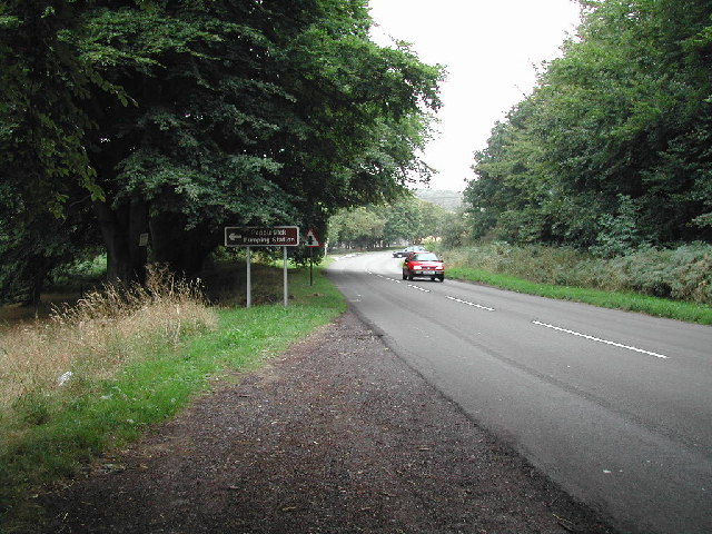
Image: © Tom Courtney Taken: 12 Aug 2005
a short distance to the left brings you to Papplewick Pumping Station
Images are licensed for reuse under creativecommons.org/licenses/by-sa/2.0
Image Location
Latitude
53.06567
Longitude
-1.131429