Llannant Road, Penyrheol, Gorseinon
Introduction
The photograph on this page of Llannant Road, Penyrheol, Gorseinon by Jaggery as part of the Geograph project.
The Geograph project started in 2005 with the aim of publishing, organising and preserving representative images for every square kilometre of Great Britain, Ireland and the Isle of Man.

There are currently over 7.5m images from over 14,400 individuals and you can help contribute to the project by visiting https://www.geograph.org.uk
Llannant Road, Penyrheol, Gorseinon
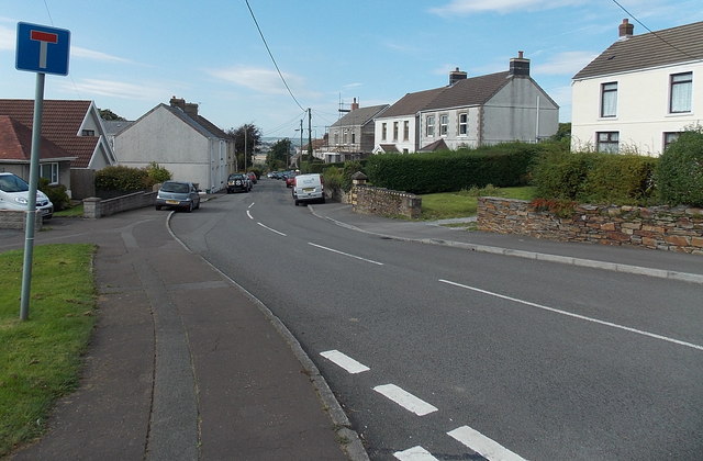
Image: © Jaggery Taken: 29 Sep 2013
Viewed from the edge of Penyrheol Community Church http://www.geograph.org.uk/photo/3682641 looking WNW along Llannant Road which ends near the edge of the Loughor Estuary.
Images are licensed for reuse under creativecommons.org/licenses/by-sa/2.0
Image Location
Latitude
51.679447
Longitude
-4.053224