Pasture, Caldwell
Introduction
The photograph on this page of Pasture, Caldwell by Richard Webb as part of the Geograph project.
The Geograph project started in 2005 with the aim of publishing, organising and preserving representative images for every square kilometre of Great Britain, Ireland and the Isle of Man.

There are currently over 7.5m images from over 14,400 individuals and you can help contribute to the project by visiting https://www.geograph.org.uk
Pasture, Caldwell
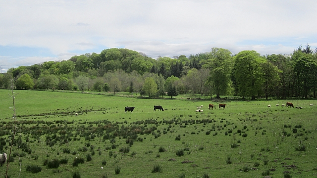
Image: © Richard Webb Taken: 21 May 2013
There was a steady improvement in the grazing as height was lost from the boggy plateau south of Gleniffer Braes.
Images are licensed for reuse under creativecommons.org/licenses/by-sa/2.0
Image Location
Latitude
55.758637
Longitude
-4.531435