Ruin at Parkend
Introduction
The photograph on this page of Ruin at Parkend by M J Richardson as part of the Geograph project.
The Geograph project started in 2005 with the aim of publishing, organising and preserving representative images for every square kilometre of Great Britain, Ireland and the Isle of Man.

There are currently over 7.5m images from over 14,400 individuals and you can help contribute to the project by visiting https://www.geograph.org.uk
Ruin at Parkend
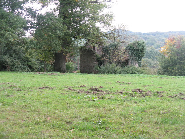
Image: © M J Richardson Taken: 22 Sep 2013
A building at the edge of woodland at Parkend, presumably a relic of the iron industry in the area. Note the diggings of wild pigs, a frequent sight in the area [generally known as wild boar, but presumably there are sows as well].
Images are licensed for reuse under creativecommons.org/licenses/by-sa/2.0
Image Location
Latitude
51.770934
Longitude
-2.565008