Camlet Way
Introduction
The photograph on this page of Camlet Way by Martin Addison as part of the Geograph project.
The Geograph project started in 2005 with the aim of publishing, organising and preserving representative images for every square kilometre of Great Britain, Ireland and the Isle of Man.

There are currently over 7.5m images from over 14,400 individuals and you can help contribute to the project by visiting https://www.geograph.org.uk
Camlet Way
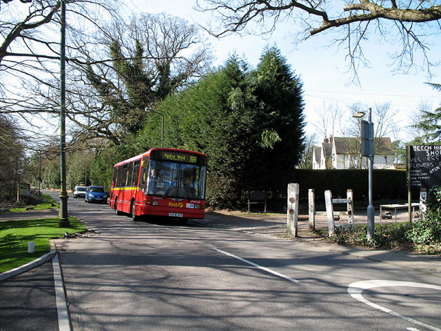
Image: © Martin Addison Taken: 16 Mar 2007
DM41264 on the 399 route to Hadley Wood passes through the Monken Hadley Common gate. On the right is the entrance to Beech Hill Farm.
Images are licensed for reuse under creativecommons.org/licenses/by-sa/2.0
Image Location
Latitude
51.66351
Longitude
-0.185265