Industrial land, Bridge of Weir
Introduction
The photograph on this page of Industrial land, Bridge of Weir by Richard Webb as part of the Geograph project.
The Geograph project started in 2005 with the aim of publishing, organising and preserving representative images for every square kilometre of Great Britain, Ireland and the Isle of Man.

There are currently over 7.5m images from over 14,400 individuals and you can help contribute to the project by visiting https://www.geograph.org.uk
Industrial land, Bridge of Weir
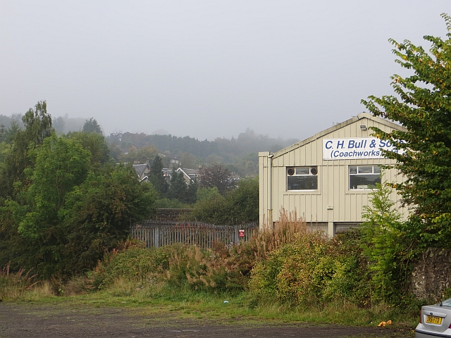
Image: © Richard Webb Taken: 28 Sep 2013
A strip between the railway (closed by idiots in 1983) and Kilmacolm Road. The River Gryfe is behind the trees.
Images are licensed for reuse under creativecommons.org/licenses/by-sa/2.0
Image Location
Latitude
55.858895
Longitude
-4.581423