Public bridleway near Spennells, Kidderminster
Introduction
The photograph on this page of Public bridleway near Spennells, Kidderminster by P L Chadwick as part of the Geograph project.
The Geograph project started in 2005 with the aim of publishing, organising and preserving representative images for every square kilometre of Great Britain, Ireland and the Isle of Man.

There are currently over 7.5m images from over 14,400 individuals and you can help contribute to the project by visiting https://www.geograph.org.uk
Public bridleway near Spennells, Kidderminster
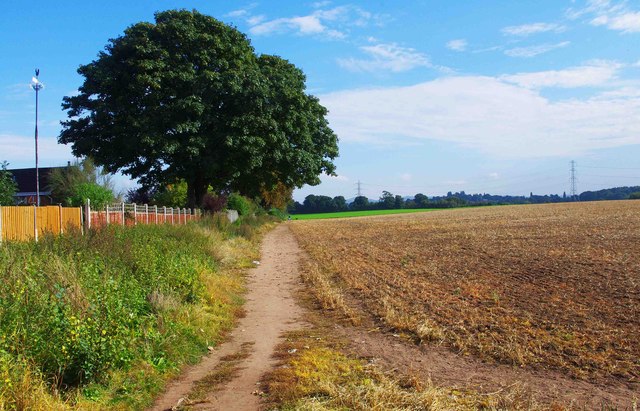
Image: © P L Chadwick Taken: 29 Sep 2013
The bridleway goes straight ahead. To the right is a path used by the public, but not marked as a public footpath on OS maps. Image
Images are licensed for reuse under creativecommons.org/licenses/by-sa/2.0
Image Location
Latitude
52.366081
Longitude
-2.227886