The Black Cock, Blythe Bridge
Introduction
The photograph on this page of The Black Cock, Blythe Bridge by Richard Vince as part of the Geograph project.
The Geograph project started in 2005 with the aim of publishing, organising and preserving representative images for every square kilometre of Great Britain, Ireland and the Isle of Man.

There are currently over 7.5m images from over 14,400 individuals and you can help contribute to the project by visiting https://www.geograph.org.uk
The Black Cock, Blythe Bridge
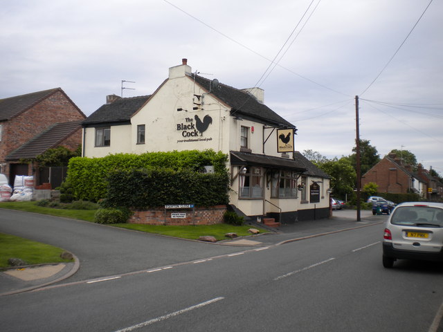
Image: © Richard Vince Taken: 29 Jun 2013
A pub on Uttoxeter Road near the east end of the village. It has apparently been subject to refurbishment since it was recorded in 2007: see Image
Images are licensed for reuse under creativecommons.org/licenses/by-sa/2.0
Image Location
Latitude
52.965539
Longitude
-2.056684