Jacks Lane, Harefield
Introduction
The photograph on this page of Jacks Lane, Harefield by Malc McDonald as part of the Geograph project.
The Geograph project started in 2005 with the aim of publishing, organising and preserving representative images for every square kilometre of Great Britain, Ireland and the Isle of Man.

There are currently over 7.5m images from over 14,400 individuals and you can help contribute to the project by visiting https://www.geograph.org.uk
Jacks Lane, Harefield
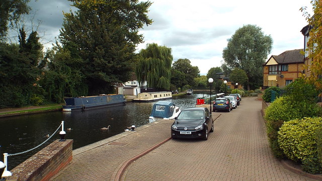
Image: © Malc McDonald Taken: 8 Sep 2013
New housing alongside the Grand Union Canal in Harefield. At this point the canal forms the boundary between Greater London (on this side) and Hertfordshire (on the opposite bank).
Images are licensed for reuse under creativecommons.org/licenses/by-sa/2.0
Image Location
Latitude
51.607322
Longitude
-0.498143