View east from the B6306
Introduction
The photograph on this page of View east from the B6306 by Robert Graham as part of the Geograph project.
The Geograph project started in 2005 with the aim of publishing, organising and preserving representative images for every square kilometre of Great Britain, Ireland and the Isle of Man.

There are currently over 7.5m images from over 14,400 individuals and you can help contribute to the project by visiting https://www.geograph.org.uk
View east from the B6306
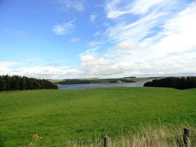
Image: © Robert Graham Taken: 21 Aug 2013
The road between Blanchland and Edmundbyers. At this spot between Hunter House and Pow Hill plantations, there is a nice view of the Derwent Reservoir.
Images are licensed for reuse under creativecommons.org/licenses/by-sa/2.0
Image Location
Latitude
54.862154
Longitude
-1.989843