Caebitra valley
Introduction
The photograph on this page of Caebitra valley by Jonathan Billinger as part of the Geograph project.
The Geograph project started in 2005 with the aim of publishing, organising and preserving representative images for every square kilometre of Great Britain, Ireland and the Isle of Man.

There are currently over 7.5m images from over 14,400 individuals and you can help contribute to the project by visiting https://www.geograph.org.uk
Caebitra valley
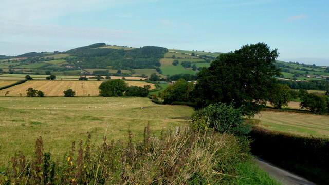
Image: © Jonathan Billinger Taken: 27 Sep 2013
Autumn sunshine in this view towards Gwern-y-go and Caeliber Isaf. Mix of arable land and pasture here.
Images are licensed for reuse under creativecommons.org/licenses/by-sa/2.0
Image Location
Latitude
52.51307
Longitude
-3.142982