Footpath 12 meets Kiln Road
Introduction
The photograph on this page of Footpath 12 meets Kiln Road by Rob Farrow as part of the Geograph project.
The Geograph project started in 2005 with the aim of publishing, organising and preserving representative images for every square kilometre of Great Britain, Ireland and the Isle of Man.

There are currently over 7.5m images from over 14,400 individuals and you can help contribute to the project by visiting https://www.geograph.org.uk
Footpath 12 meets Kiln Road
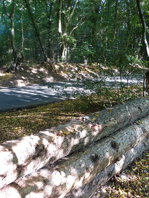
Image: © Rob Farrow Taken: 29 Sep 2013
A footpath designated as Number 12 crosses the southeastern section of High Scrubs from Browns Lane to Kiln Road. Here it is seen as it meets the latter lane, the sturdy logs are presumably to prevent motorised access to the wood at this point. The footpath crosses Kiln Lane here and continues into Roundhill Wood on the other side then skirts the northwestern flank of that wood to hit the Chesham Road almost opposite Image]
Images are licensed for reuse under creativecommons.org/licenses/by-sa/2.0
Image Location
Latitude
51.764273
Longitude
-0.64988