Beechwood farm and fields from Drayton Wood
Introduction
The photograph on this page of Beechwood farm and fields from Drayton Wood by Rob Farrow as part of the Geograph project.
The Geograph project started in 2005 with the aim of publishing, organising and preserving representative images for every square kilometre of Great Britain, Ireland and the Isle of Man.

There are currently over 7.5m images from over 14,400 individuals and you can help contribute to the project by visiting https://www.geograph.org.uk
Beechwood farm and fields from Drayton Wood
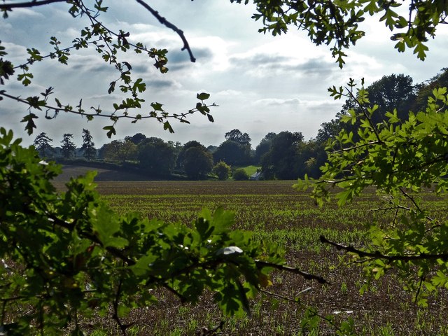
Image: © Rob Farrow Taken: 29 Sep 2013
A view southwestwards out of Drayton Wood looking towards Beechwood Farm with the hedgerow delineating Little Twye Road in the distance. Cf Image] taken eighteen months earlier from a similar position.
Images are licensed for reuse under creativecommons.org/licenses/by-sa/2.0
Image Location
Latitude
51.761443
Longitude
-0.669816