Guide Bridge Station Junction
Introduction
The photograph on this page of Guide Bridge Station Junction by Peter Whatley as part of the Geograph project.
The Geograph project started in 2005 with the aim of publishing, organising and preserving representative images for every square kilometre of Great Britain, Ireland and the Isle of Man.

There are currently over 7.5m images from over 14,400 individuals and you can help contribute to the project by visiting https://www.geograph.org.uk
Guide Bridge Station Junction
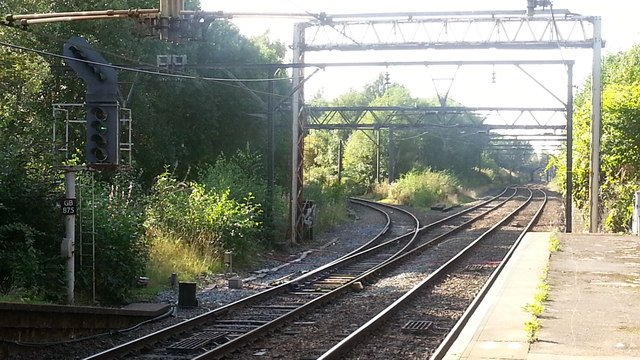
Image: © Peter Whatley Taken: 28 Sep 2013
Formerly Guide Bridge West Junction, the location has changed little in 25 years (see http://www.geograph.org.uk/photo/827960 ) apart from vegetation slowly enveloping the site.
Images are licensed for reuse under creativecommons.org/licenses/by-sa/2.0
Image Location
Latitude
53.474442
Longitude
-2.117326