Bridleway near Bitchfield
Introduction
The photograph on this page of Bridleway near Bitchfield by Kate Jewell as part of the Geograph project.
The Geograph project started in 2005 with the aim of publishing, organising and preserving representative images for every square kilometre of Great Britain, Ireland and the Isle of Man.

There are currently over 7.5m images from over 14,400 individuals and you can help contribute to the project by visiting https://www.geograph.org.uk
Bridleway near Bitchfield
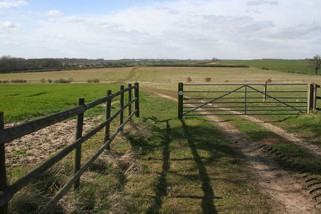
Image: © Kate Jewell Taken: 16 Mar 2007
This bridleway leads from the B1176 to Boothby Pagnell along this serviceable farm track. The West Glen River runs in the dip across the centre of the photograph.
Images are licensed for reuse under creativecommons.org/licenses/by-sa/2.0
Image Location
Latitude
52.853427
Longitude
-0.543562