Sycamore Farm, Lower Bassingthorpe
Introduction
The photograph on this page of Sycamore Farm, Lower Bassingthorpe by Kate Jewell as part of the Geograph project.
The Geograph project started in 2005 with the aim of publishing, organising and preserving representative images for every square kilometre of Great Britain, Ireland and the Isle of Man.

There are currently over 7.5m images from over 14,400 individuals and you can help contribute to the project by visiting https://www.geograph.org.uk
Sycamore Farm, Lower Bassingthorpe
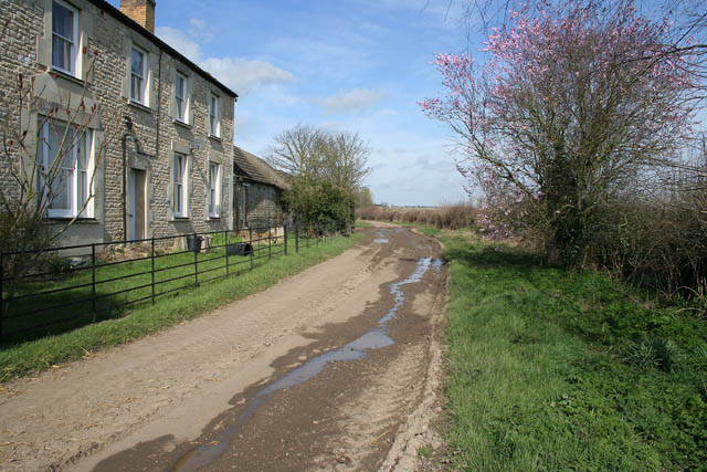
Image: © Kate Jewell Taken: 16 Mar 2007
A limestone farmhouse with ashlar cut window surrounds. The muddy track leads to the farm in Image
Images are licensed for reuse under creativecommons.org/licenses/by-sa/2.0
Image Location
Latitude
52.852484
Longitude
-0.569583