Ballintoy Parish Church viewed from the road descending towards the harbour
Introduction
The photograph on this page of Ballintoy Parish Church viewed from the road descending towards the harbour by Eric Jones as part of the Geograph project.
The Geograph project started in 2005 with the aim of publishing, organising and preserving representative images for every square kilometre of Great Britain, Ireland and the Isle of Man.

There are currently over 7.5m images from over 14,400 individuals and you can help contribute to the project by visiting https://www.geograph.org.uk
Ballintoy Parish Church viewed from the road descending towards the harbour
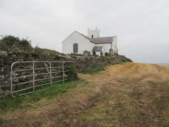
Image: © Eric Jones Taken: 25 Sep 2013
The field in the foreground is newly harvested. http://www.ballintoy.connor.anglican.org/ballintoychurch.html
Images are licensed for reuse under creativecommons.org/licenses/by-sa/2.0
Image Location
Latitude
55.240243
Longitude
-6.366903