Country lane west of Yafforth.
Introduction
The photograph on this page of Country lane west of Yafforth. by Frank Glover as part of the Geograph project.
The Geograph project started in 2005 with the aim of publishing, organising and preserving representative images for every square kilometre of Great Britain, Ireland and the Isle of Man.

There are currently over 7.5m images from over 14,400 individuals and you can help contribute to the project by visiting https://www.geograph.org.uk
Country lane west of Yafforth.
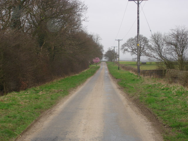
Image: © Frank Glover Taken: 16 Mar 2007
This lane heads south from the B6271 towards Thrintoft. The tree in blossom is the entrance to Yafforth Grange.
Images are licensed for reuse under creativecommons.org/licenses/by-sa/2.0
Image Location


Leaflet Map data © OpenStreetMap
Latitude
54.351739
Longitude
-1.496869