Path from Sidford to Fortescue and Sidmouth
Introduction
The photograph on this page of Path from Sidford to Fortescue and Sidmouth by Jaggery as part of the Geograph project.
The Geograph project started in 2005 with the aim of publishing, organising and preserving representative images for every square kilometre of Great Britain, Ireland and the Isle of Man.

There are currently over 7.5m images from over 14,400 individuals and you can help contribute to the project by visiting https://www.geograph.org.uk
Path from Sidford to Fortescue and Sidmouth
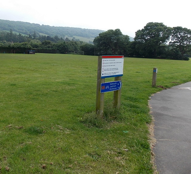
Image: © Jaggery Taken: 18 Jun 2013
The combined path and cycleway diverge from the Byes Lane roadway here. The blue sign pointing right shows ¾ (mile) to Fortescue and 1¾ to Sidmouth seafront. One of the instructions on the board is that cyclists are to keep to their designated side of the path and give way to pedestrians.
Images are licensed for reuse under creativecommons.org/licenses/by-sa/2.0
Image Location
Latitude
50.701664
Longitude
-3.225244