Bridleway on the edge of Chessington
Introduction
The photograph on this page of Bridleway on the edge of Chessington by Marathon as part of the Geograph project.
The Geograph project started in 2005 with the aim of publishing, organising and preserving representative images for every square kilometre of Great Britain, Ireland and the Isle of Man.

There are currently over 7.5m images from over 14,400 individuals and you can help contribute to the project by visiting https://www.geograph.org.uk
Bridleway on the edge of Chessington
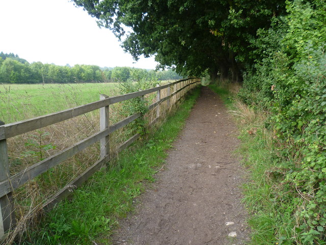
Image: © Marathon Taken: 25 Sep 2013
This bridleway leaves the path between Chessington and Claygate and runs northwards along the edge of this field, parallel to the Esher By-pass. The bridleway ahead tends to get churned up by horses and as there is no way to avoid the resultant mud in places, an unofficial footpath has been created in the field on the left, next to the bridleway. In this view the Esher By-pass is beyond the trees to the left.
Images are licensed for reuse under creativecommons.org/licenses/by-sa/2.0
Image Location
Latitude
51.35967
Longitude
-0.318815