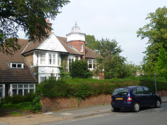
Lovelace Road, Surbiton
Introduction
The photograph on this page of Lovelace Road, Surbiton by Marathon as part of the Geograph project.
The Geograph project started in 2005 with the aim of publishing, organising and preserving representative images for every square kilometre of Great Britain, Ireland and the Isle of Man.
There are currently over 7.5m images from over 14,400 individuals and you can help contribute to the project by visiting https://www.geograph.org.uk

Image: © Marathon Taken: 25 Sep 2013
In 1834 an Act for building a railway between London and Southampton received Royal Assent. Local councillors in Kingston, coupled with the coaching interests and Lord Cottenham, owner of much of the land between Kingston and Wimbledon, objected to the railway running through the town, and so the railway was forced to pass a mile and a half to the south. A station opened in 1838 at what was then called “Kingston New Town” or, from 1841, “Kingston-on-Railway”. This was subsequently named Surbiton. The fine houses and good rail service attracted wealthy commuters and earned Surbiton the title of “Queen of the Suburbs”. This is Lovelace Road which runs parallel to the railway line. Some of the fine houses along this road have been demolished and flats built on the sites. This house close to the station has survived.

