Petts Wood: South Eastern Main Line
Introduction
The photograph on this page of Petts Wood: South Eastern Main Line by Nigel Cox as part of the Geograph project.
The Geograph project started in 2005 with the aim of publishing, organising and preserving representative images for every square kilometre of Great Britain, Ireland and the Isle of Man.

There are currently over 7.5m images from over 14,400 individuals and you can help contribute to the project by visiting https://www.geograph.org.uk
Petts Wood: South Eastern Main Line
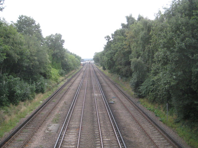
Image: © Nigel Cox Taken: 22 Sep 2013
Although this railway now forms the South Eastern Main Line, this particular section was a latecomer, only being constructed by the South Eastern Railway and opening in 1868. This is the view from the separate footbridge on the south side of the Crofton Lane road bridge over the railway. In the far distance is Orpington station in Image
Images are licensed for reuse under creativecommons.org/licenses/by-sa/2.0
Image Location


Leaflet Map data © OpenStreetMap
Latitude
51.380659
Longitude
0.082025