
Lane from Woolston 3 - Wistanstow, Shropshire
Introduction
The photograph on this page of Lane from Woolston 3 - Wistanstow, Shropshire by Martin Richard Phelan as part of the Geograph project.
The Geograph project started in 2005 with the aim of publishing, organising and preserving representative images for every square kilometre of Great Britain, Ireland and the Isle of Man.

There are currently over 7.5m images from over 14,400 individuals and you can help contribute to the project by visiting https://www.geograph.org.uk
Lane from Woolston 3 - Wistanstow, Shropshire
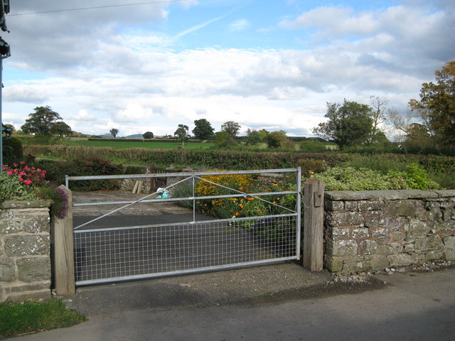
Image: © Martin Richard Phelan Taken: 17 Oct 2008
The lane from Woolston brings the traveller in at the northern end of the village of Wistanstow. The village, named after St Wystan, is sited on the Roman road between Wroxeter (Uriconium) and Leintwardine (Bravinium) and the parish church dates from Norman times with many features of interest. Nearby is The Monument - aka Flounders Folly (opening restricted, see website) - from where, on top of Callow Hill, there are wide-ranging views. Time photo taken 2.29 pm BST (British Summer Time). Image Image
Images are licensed for reuse under creativecommons.org/licenses/by-sa/2.0
Image Location

Latitude
52.46744
Longitude
-2.837379