Access to Scripton Farm
Introduction
The photograph on this page of Access to Scripton Farm by Stanley Howe as part of the Geograph project.
The Geograph project started in 2005 with the aim of publishing, organising and preserving representative images for every square kilometre of Great Britain, Ireland and the Isle of Man.

There are currently over 7.5m images from over 14,400 individuals and you can help contribute to the project by visiting https://www.geograph.org.uk
Access to Scripton Farm
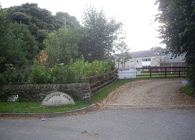
Image: © Stanley Howe Taken: 21 Sep 2013
Now redeveloped into seven separate dwellings, close to the A690 at Brancepeth.
Images are licensed for reuse under creativecommons.org/licenses/by-sa/2.0
Image Location
Latitude
54.741828
Longitude
-1.638833