A recreation area, Brancepeth
Introduction
The photograph on this page of A recreation area, Brancepeth by Stanley Howe as part of the Geograph project.
The Geograph project started in 2005 with the aim of publishing, organising and preserving representative images for every square kilometre of Great Britain, Ireland and the Isle of Man.

There are currently over 7.5m images from over 14,400 individuals and you can help contribute to the project by visiting https://www.geograph.org.uk
A recreation area, Brancepeth
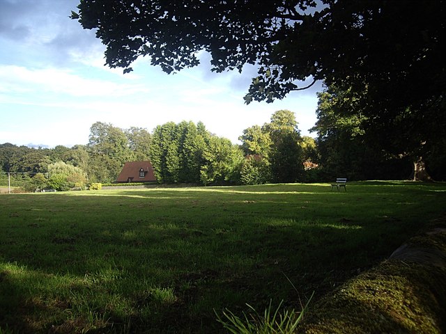
Image: © Stanley Howe Taken: 21 Sep 2013
A grass field with park bench; seen from Wolsingham Road.
Images are licensed for reuse under creativecommons.org/licenses/by-sa/2.0
Image Location
Latitude
54.73721
Longitude
-1.657667