Lane at West Anstey
Introduction
The photograph on this page of Lane at West Anstey by Derek Harper as part of the Geograph project.
The Geograph project started in 2005 with the aim of publishing, organising and preserving representative images for every square kilometre of Great Britain, Ireland and the Isle of Man.

There are currently over 7.5m images from over 14,400 individuals and you can help contribute to the project by visiting https://www.geograph.org.uk
Lane at West Anstey
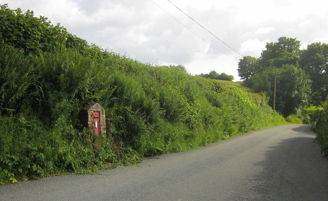
Image: © Derek Harper Taken: 26 Jun 2013
The lane to Yeo Mill seen from the junction with the lane to the church shown in Image On the bank is George V postbox EX36 211.
Images are licensed for reuse under creativecommons.org/licenses/by-sa/2.0
Image Location
Latitude
51.03392
Longitude
-3.638604