The old A74 at Johnstonebridge
Introduction
The photograph on this page of The old A74 at Johnstonebridge by Oliver Dixon as part of the Geograph project.
The Geograph project started in 2005 with the aim of publishing, organising and preserving representative images for every square kilometre of Great Britain, Ireland and the Isle of Man.

There are currently over 7.5m images from over 14,400 individuals and you can help contribute to the project by visiting https://www.geograph.org.uk
The old A74 at Johnstonebridge
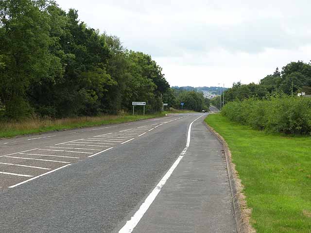
Image: © Oliver Dixon Taken: 3 Sep 2013
Until a few years ago, this was the A74, the main road from Carlisle to Glasgow. Following the construction of the M74 motorway, this road was downgraded to B road status. The continuous white line demarcates the cycle lane, designated NCN74, the most boring part of the entire National Cycle Network.
Images are licensed for reuse under creativecommons.org/licenses/by-sa/2.0
Image Location


Leaflet Map data © OpenStreetMap
Latitude
55.215719
Longitude
-3.41562