Stable block, Horsington
Introduction
The photograph on this page of Stable block, Horsington by Derek Harper as part of the Geograph project.
The Geograph project started in 2005 with the aim of publishing, organising and preserving representative images for every square kilometre of Great Britain, Ireland and the Isle of Man.

There are currently over 7.5m images from over 14,400 individuals and you can help contribute to the project by visiting https://www.geograph.org.uk
Stable block, Horsington
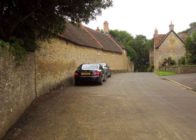
Image: © Derek Harper Taken: 14 Sep 2013
A closer view of the street side of the listed stable buildings of Horsington Manor, also shown in Image] http://list.english-heritage.org.uk/resultsingle.aspx?uid=1238068&searchtype=mapsearch .
Images are licensed for reuse under creativecommons.org/licenses/by-sa/2.0
Image Location
Latitude
51.013788
Longitude
-2.426745