Lower Road, Horsington
Introduction
The photograph on this page of Lower Road, Horsington by Derek Harper as part of the Geograph project.
The Geograph project started in 2005 with the aim of publishing, organising and preserving representative images for every square kilometre of Great Britain, Ireland and the Isle of Man.

There are currently over 7.5m images from over 14,400 individuals and you can help contribute to the project by visiting https://www.geograph.org.uk
Lower Road, Horsington
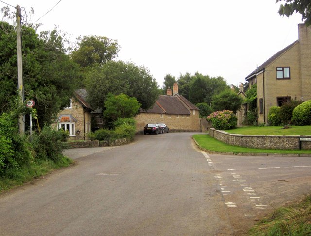
Image: © Derek Harper Taken: 14 Sep 2013
The road from South Cheriton passes Back lane on the right, and the West Lodge to Horsington Manor on the left. Ahead is the manor's stable complex http://list.english-heritage.org.uk/resultsingle.aspx?uid=1238068&searchtype=mapsearch and Stable Cottage.
Images are licensed for reuse under creativecommons.org/licenses/by-sa/2.0
Image Location
Latitude
51.013878
Longitude
-2.426888