Strand Water at Maidenhead
Introduction
The photograph on this page of Strand Water at Maidenhead by Marathon as part of the Geograph project.
The Geograph project started in 2005 with the aim of publishing, organising and preserving representative images for every square kilometre of Great Britain, Ireland and the Isle of Man.

There are currently over 7.5m images from over 14,400 individuals and you can help contribute to the project by visiting https://www.geograph.org.uk
Strand Water at Maidenhead
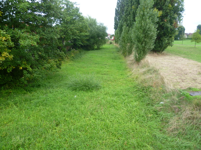
Image: © Marathon Taken: 22 Sep 2013
The Cut connects to the River Thames and retains public navigation rights, though it is impractical for boats to pass through the sections in Miadenhead today as they are silted up and overgrown. The old channel leaves the Thames just above Cliveden and eventually rejoins it just below Bray Lock by the Marina. This part is known as Strand Water and acts as a flood relief channel. It is seen here from Bridge Road and at the time was dry. For more about the Maidenhead Waterways see http://en.wikipedia.org/wiki/Maidenhead_Waterways
Images are licensed for reuse under creativecommons.org/licenses/by-sa/2.0
Image Location
Latitude
51.524454
Longitude
-0.713201