Monarch's Way near South Cheriton
Introduction
The photograph on this page of Monarch's Way near South Cheriton by Derek Harper as part of the Geograph project.
The Geograph project started in 2005 with the aim of publishing, organising and preserving representative images for every square kilometre of Great Britain, Ireland and the Isle of Man.

There are currently over 7.5m images from over 14,400 individuals and you can help contribute to the project by visiting https://www.geograph.org.uk
Monarch's Way near South Cheriton
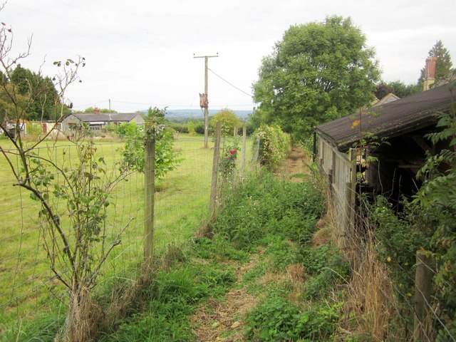
Image: © Derek Harper Taken: 14 Sep 2013
Beyond the gate shown in Image], the Way follows footpath WN 14/4 along a track between Keepers Well and The Old Forge to meet the A357.
Images are licensed for reuse under creativecommons.org/licenses/by-sa/2.0
Image Location
Latitude
51.017077
Longitude
-2.437039