Houses on the A357
Introduction
The photograph on this page of Houses on the A357 by Derek Harper as part of the Geograph project.
The Geograph project started in 2005 with the aim of publishing, organising and preserving representative images for every square kilometre of Great Britain, Ireland and the Isle of Man.

There are currently over 7.5m images from over 14,400 individuals and you can help contribute to the project by visiting https://www.geograph.org.uk
Houses on the A357
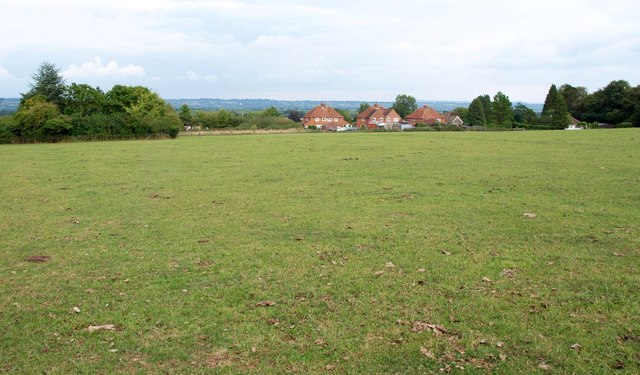
Image: © Derek Harper Taken: 14 Sep 2013
Seen from the Monarch's Way crossing a pasture on footpath WN 14/4. The Way goes over a gate into the trees on the left, although the gate doesn't open and there's an electric fence in front of it.
Images are licensed for reuse under creativecommons.org/licenses/by-sa/2.0
Image Location


Leaflet Map data © OpenStreetMap
Latitude
51.016361
Longitude
-2.436177