North end of Lysander Road, Meir Park
Introduction
The photograph on this page of North end of Lysander Road, Meir Park by Richard Vince as part of the Geograph project.
The Geograph project started in 2005 with the aim of publishing, organising and preserving representative images for every square kilometre of Great Britain, Ireland and the Isle of Man.

There are currently over 7.5m images from over 14,400 individuals and you can help contribute to the project by visiting https://www.geograph.org.uk
North end of Lysander Road, Meir Park
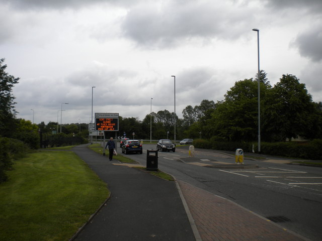
Image: © Richard Vince Taken: 29 Jun 2013
Looking towards the roundabout that provides access to the A50 and to Blythe Bridge via Uttoxeter Road.
Images are licensed for reuse under creativecommons.org/licenses/by-sa/2.0
Image Location
Latitude
52.971633
Longitude
-2.088111