Bridge to Nowhere
Introduction
The photograph on this page of Bridge to Nowhere by Anne Burgess as part of the Geograph project.
The Geograph project started in 2005 with the aim of publishing, organising and preserving representative images for every square kilometre of Great Britain, Ireland and the Isle of Man.

There are currently over 7.5m images from over 14,400 individuals and you can help contribute to the project by visiting https://www.geograph.org.uk
Bridge to Nowhere
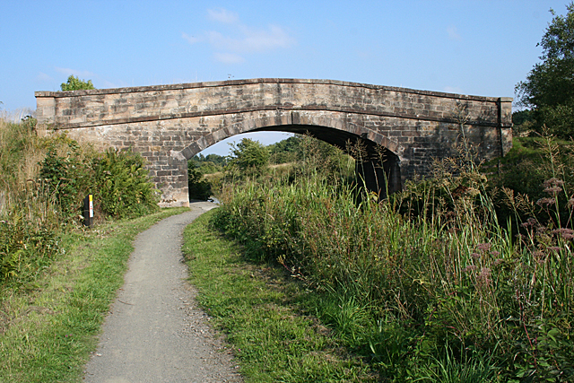
Image: © Anne Burgess Taken: 26 Aug 2013
This original bridge now just links two fields. The 1860s map shows a road crossing over the canal and then under the railway just to the north, but this road now seems to have morphed into a field boundary on the south and vanished altogether on the north.
Images are licensed for reuse under creativecommons.org/licenses/by-sa/2.0
Image Location
Latitude
55.983226
Longitude
-3.764597