Junction, Stowell Hill
Introduction
The photograph on this page of Junction, Stowell Hill by Derek Harper as part of the Geograph project.
The Geograph project started in 2005 with the aim of publishing, organising and preserving representative images for every square kilometre of Great Britain, Ireland and the Isle of Man.

There are currently over 7.5m images from over 14,400 individuals and you can help contribute to the project by visiting https://www.geograph.org.uk
Junction, Stowell Hill
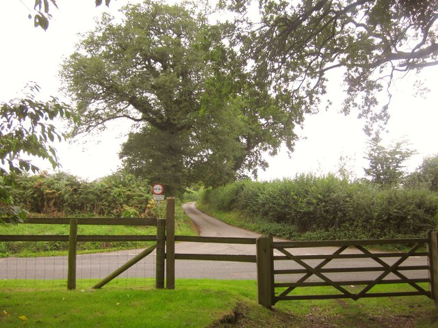
Image: © Derek Harper Taken: 14 Sep 2013
From footpath WN 14/21 as it emerges from woodland. The side lane to Wilkinthroop ahead is called Cabbage Lane.
Images are licensed for reuse under creativecommons.org/licenses/by-sa/2.0
Image Location
Latitude
51.004814
Longitude
-2.445903