Theoretical path, Stowell Hill
Introduction
The photograph on this page of Theoretical path, Stowell Hill by Derek Harper as part of the Geograph project.
The Geograph project started in 2005 with the aim of publishing, organising and preserving representative images for every square kilometre of Great Britain, Ireland and the Isle of Man.

There are currently over 7.5m images from over 14,400 individuals and you can help contribute to the project by visiting https://www.geograph.org.uk
Theoretical path, Stowell Hill
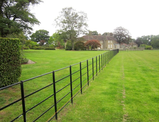
Image: © Derek Harper Taken: 14 Sep 2013
The 1:25000 map, both currently online and the one I was using, show footpath WN 14/21 turning left around here towards the junction at Cabbage Lane. But there's no way through this fence. Ahead is Stowell Hill House, 1923/4, designed in an Arts and Crafts style by Sir Guy Dawber http://list.english-heritage.org.uk/resultsingle.aspx?uid=1238119&searchtype=mapsearch .
Images are licensed for reuse under creativecommons.org/licenses/by-sa/2.0
Image Location
Latitude
51.004099
Longitude
-2.444756