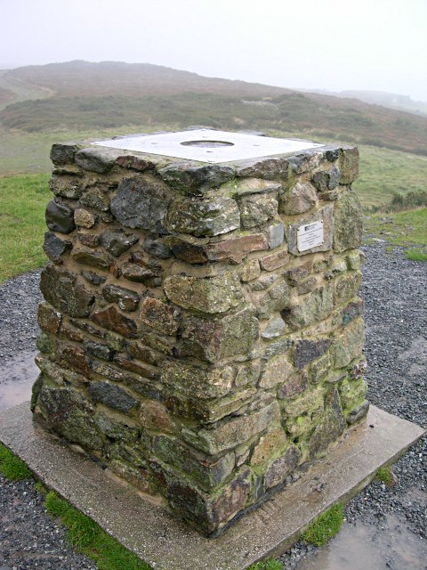
GPS Reference Station on St Agnes Beacon
Introduction
The photograph on this page of GPS Reference Station on St Agnes Beacon by Tony Atkin as part of the Geograph project.
The Geograph project started in 2005 with the aim of publishing, organising and preserving representative images for every square kilometre of Great Britain, Ireland and the Isle of Man.
There are currently over 7.5m images from over 14,400 individuals and you can help contribute to the project by visiting https://www.geograph.org.uk

Image: © Tony Atkin Taken: 22 Oct 2005
In the old days this was a Triangulation Pillar. Now it can be used as an accurately located reference point for GPS Surveys. A GPS receiver can be placed on here as a reference station while at the same time a roving receiver can do the actual surveying. Most of the positional inaccuracies in the signals received from the GPS satellites will be recorded equally by both stations but since this is at a known location, data recorded here can be used to cancel out inaccuracies in the data received by the roving station.

